Loading...
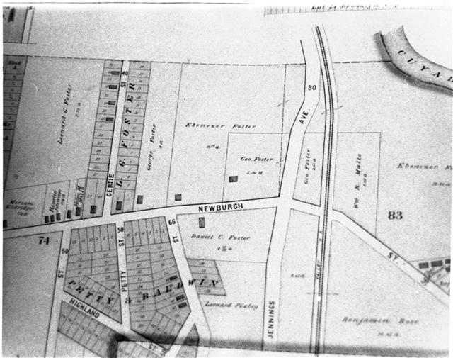
Property map (Brooklyn, Ohio - 1892)
Area covered is north and south sides of Newburgh Street (now called Denison Ave.) at what is now the west end of the Harvard-Denison Bridge
Show All «Prev «1 ... 5 6 7 8 [9] 10 11 Next»
In 1892, only a small portion of the Foster property had become developed.
Show All «Prev «1 ... 5 6 7 8 [9] 10 11 Next»