If you have any questions or comments about the information on this site, please contact us at barbarowa@yahoo.com We look forward to hearing from you.
barbarowa@yahoo.com
We look forward to hearing from you.
Home Search Print Login Add Bookmark
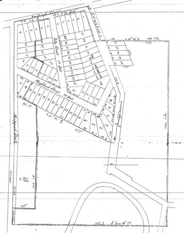
Property map (Brooklyn, Ohio - 1889) Area south of Newburgh Street (now Denison Ave. at the west end of the Harvard-Denison Bridge)
Show All «Prev «1 ... 14 15 16 17 [18] 19 20 21 22 ... 24» Next»
Consolidate Oyster Packing Company obtained the large tract of land in 1889 and began development. No housing existed yet.