Loading...
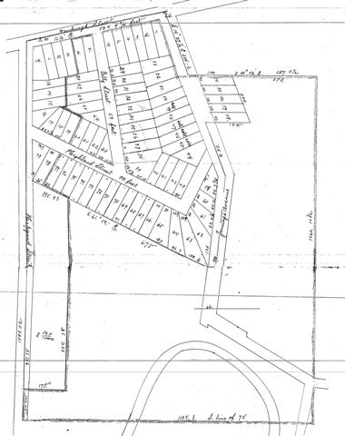
Property map (Brooklyn, Ohio - 1889)
Area south of Newburgh Street (now Denison Ave. at the west end of the Harvard-Denison Bridge)
Group Sheet «Prev 1 [2]
Consolidate Oyster Packing Company obtained the large tract of land in 1889 and began development. No housing existed yet.
Group Sheet «Prev 1 [2]