|
| |||||
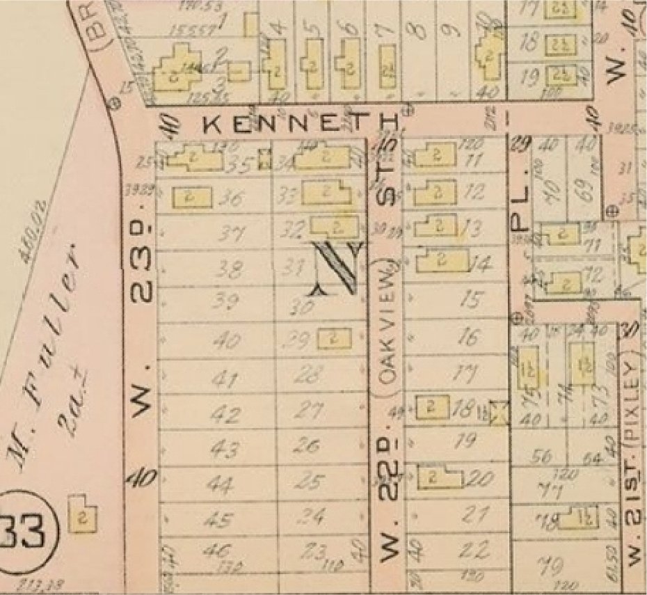
Image:Map 1912 - Fuller, Kain, and Kroehle allotment (Kenneth Ave., W23rd, W22nd).jpg
From Brooklyn Centre Wiki
Size of this preview: 652 × 599 pixels
Full resolution (930 × 855 pixel, file size: 147 KB, MIME type: image/jpeg)
(1912 platmap) - Fuller, Kain, and Kroehle allotment (Kenneth Ave., W23rd., W22nd)
File history
Click on a date/time to view the file as it appeared at that time.
| Date/Time | User | Dimensions | File size | Comment | |
|---|---|---|---|---|---|
| (current) | 17:00, 5 September 2010 | Sandy (Talk | contribs) | 930×855 | 147 KB | (1912 platmap) - Fuller, Kain, and Kroehle allotment (Kenneth Ave., W23rd., W22nd) |
- Edit this file using an external application
See the setup instructions for more information.
Links
The following pages link to this file:

.jpg)